What you can request
Services with a clear deliverable.
Documentation as a service means scoped capture, 3D modeling and a property record you can use. Technology work is scoped separately. Each deliverable is described by what was actually captured, supplied or installed.
Twinstead · homes
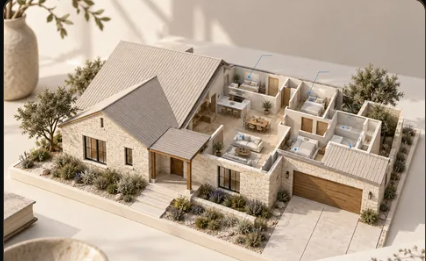
Residential documentation
For a home, ranch or estate that needs a durable record rather than another folder of disconnected files.
- Room-by-room photographs and available property documents
- Scoped 3D capture, modeling, floor plans and virtual walkthroughs
- Visible equipment located with photographs, labels and source records
Explore Twinstead →See a sample residential record →
Twinsite · commercial
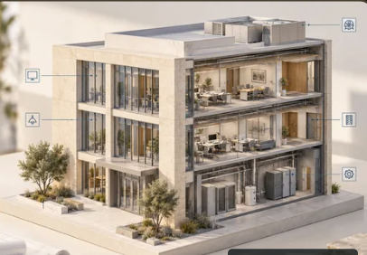
Building documentation
For owners and managers who need to understand a building and pass usable information to the next team.
- Scoped commercial 3D scanning, models and floor plans
- Equipment inventory by location, with accessible nameplate photos
- Turnover and operations records tied to the space
Explore Twinsite →See a sample commercial inventory →
Handiwork · homes & businesses
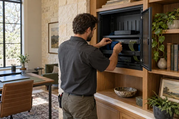
Technology and practical work
Separately requested work for the systems people use in a property every day.
- Ethernet, Wi-Fi and network planning or installation
- Smart home devices, TVs and speakers within the agreed scope
- Small custom software tools and automations
Explore Handiwork →See a sample technology handoff →
Concealed building systems remain unverified without plans or field evidence. Work that requires a license is handled by an independent vendor hired directly by the owner. No Avodas product repairs a problem that another Avodas product documented or verified.